Indoor mapping by Mappire
CCTV cameras on the indoor map
Show your camera feeds and camera outputs on the venue map. The security team sees each camera where it is and opens it from the map.
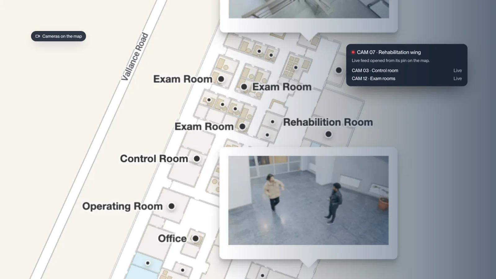
- 01
Every camera pinned to its place on the 3D map.
- 02
Open camera feeds and outputs from the map.
- 03
See cameras next to traffic, assets and closures.
- 04
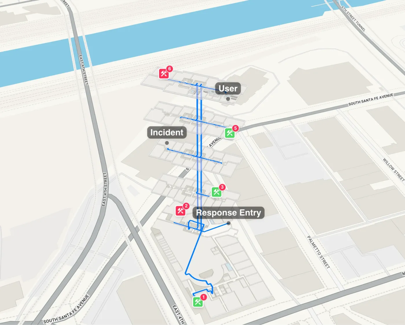
Route staff to an incident on the same map.

What is CCTV mapping software?
CCTV mapping software places security cameras on a floor plan, so operators see where each camera sits and what it covers. Mappire puts camera feeds on the live 3D venue map, and your team opens a camera from the corridor it watches.
Cameras in context
Each camera sits next to busy areas, tracked assets, closures and emergency routes. A crowd building at an entrance and the camera that covers it are on the same screen.
From incident to route
When something happens, the same map routes a staff member to it, across floors and halls. Closures and emergency paths push to every visitor’s screen at once.
Connects to the systems you run
Mappire works with the video management system you already run. We connect your cameras to the map through our APIs, with your team.
Part of the operations layer
Cameras sit with asset tracking, occupancy analytics, registration and closures in one platform. Used for malls, airports, hospitals, exhibitions and campuses.
Questions buyers ask
Can Mappire show CCTV cameras on the venue map?
Yes. Camera feeds and camera outputs are part of Mappire's operations layer. Each camera is pinned where it is on the 3D map and can be opened from there.
Does it replace our video management system?
No. Mappire works alongside it and connects to the camera systems you already run.
Why put cameras on a map?
Security staff see which camera covers which corridor, next to live traffic and closures, and can route a colleague to the incident on the same map.
Send the floor plan. We will show you what the venue can become.
Map my venue